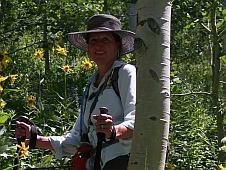
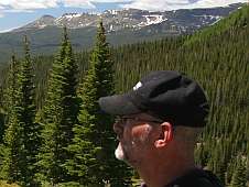
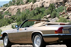
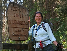
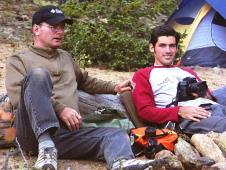
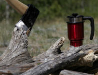
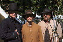
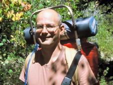
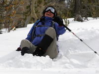
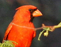
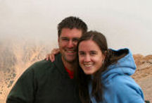
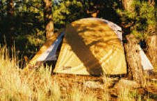
 Yesterday we were hiking through the foothills enjoying 75 degree weather and sunshine. Ronda, Josh and I got in some serious cardio-vascular exercise over in North Cheyenne Canyon during what turned out to be a four-mile excursion culminating in one of my famous “shortcuts”.
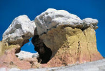
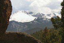
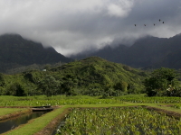
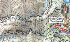
The trail starts out at the summit of High Dr. and ascends up the side of Mt Buckhorn. High Dr. is open from May to October to vehicular traffic. Key word being “to” not “through” October. as I had recalled. We had to park in the Gold Camp Trailhead parking area and hike up High Dr. before we could actually start our hike. The trail (667) across Mt. Buckhorn delivers some very nice views of the Broadmoor Hotel, Colorado Springs, and the wide open prairie beyond. The trail becomes Jones Park trail as you leave Mt Buckhorn and continues across an un-named ridge towards Mt Kineo. It was at this point that “the shortcut” came into my mind.
Going back the way we came was the original plan, however, we were three miles out and the sun had already dropped over the mountains to the west of us. Having become familiar with the geography of the local area, I knew that the Seven Bridges trail was at the bottom of the canyon to our left, and that if we could get down to it we could shave a good two miles off our return trip. The only thing between us and the Seven Bridges trail was about 900 feet- 900 feet down, that is.
Now 900 feet is not really all that far, about three city blocks, but it takes on a different perspective when it’s down. Or another perspective… Des Moines, IA is approx. 860 feet above sea level.
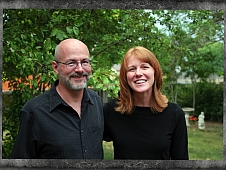
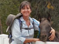
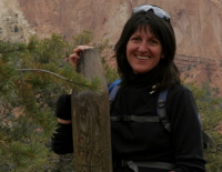
Ronda begins narrating this story….I was not sure whether to trust these two Rambo types and their ‘yee ha – let’s go down the mountain’. Matt has taken me on some interesting and very challenging off trail adventures but to his credit, he has never gotten me lost, so I relented. I have learned that my tax dollars got both of my guys some awesome field survival skills.
Now understand that standing at the top of a very steep incline and looking down has NEVER been my cup of tea. Jumping off a loaded hay rack is my idea of enough height so this view of almost straight down for 900 feet was bit beyond my comfort zone. It is one of the reasons I have not ever really considered downhill skiing, the thought of standing at the top of a steep incline on a mountain and realizing the only thing between me and the bottom is a long ride on a couple of slim pieces of wood or acrylic. Not my idea of a good time. I was soon to learn that my perspective was ALL wrong!
We advanced a small distance across the trail from the high rocky point that this capital decision was made and began the apprehensive (on my part!) descent down. We followed an animal trail that Matt found which worked its way across the the incline, crossing an open scree field very carefully. (We later regretted this decision) The whole mountain is a scree field, actually, but covered by pine needles and grasses so it is possible to navigate carefully. At the point that we had decended approximately 200 feet, Matt decided it was time to go the more downward route. This is where our new sport initiation came in! Now mind you, I said that the whole mountain face was scree. If you are unfamiliar with scree, it is loose granite about the size of pea gravel. We have found that even on Pikes Peak, there are ‘rocks’ appearing to be granite rocks that when touched fall into pieces in your hand. Now imagine a mountain face covered in pea gravel. You are going to just turn and hike down it at a 45 degree angle. NOT!
Hence our new sport. —Scree Sliding. I think there is actually a name for it other than what we deemed it but ours helps you to visualize how we got down that 900 feet in about 15 minutes. Matt led us down. At first, we were all trying to keep our balance and catch trees as we went by to stop and catch ourselves. Before long (not soon enough!) we realized that just surfing the scree and flowing down the mountain was the real way to do this. That was where the ‘yee ha’ comes in!
Josh graciously stayed with me and made sure I didn’t roll down the mountain. He held my hand at one point to help me balance and give me confidence. It was then I caught his technique and realized if I relaxed and flowed with the scree, I could surf it down. I lost my balance at several points and ended up ‘sledding the scree’. Whoo hoo! As long as you missed the trees and bigger rocks, which we did, it was a grand time. Alot of the rocks moved out of the way as there is nothing to hold them in place. It was an awesome ride to say the least, leaving us wanting to go back up the mountain face and come down again. We wished we had not passed by the first open scree flow that we found and carefully maneuvered over but just plunged into it. Needless to say, we will not shy away from another opportunity to Scree Slide a mountain face. I think that skiing or snowboarding may now be in my future as that was just too exhilarating to not do on a fairly regular basis. I think Matt has turned me into a rush junkie! He’ll be sorry!
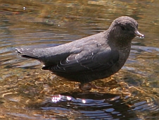
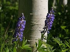
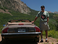
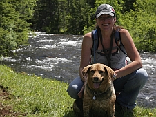
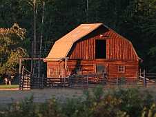
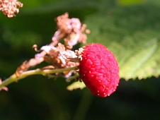
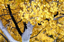
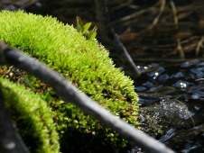
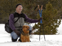
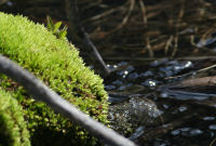
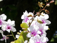
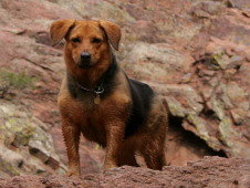
This Scree Sliding experience took us right to the edge of the North Cheyenne Creek, which was a beautiful mountain stream surrounded in trees turning a lovely golden hue. My photographers got busy shuttering away all along the creek. Abby was so thirsty, dusty, and hot that she immediately layed down in the stream. It was a great hike back to the Gold Camp Road along the stream with many photo opportunities. Everyone was in heightened spirits. Truly a great hike!
Hopefully, you will get to see some of the pictures here soon as they are going off to be developed tomorrow. Matt just couldn’t wait to post this story so you will have to endure a pictureless story. We were all a bit jazzed by the adventure for sure and ready to share. On the way back we hit one of our favorite eateries, Jack Quinn, in downtown Co Springs for some hiker nourishment. Highly recommend, and when you come for a visit, don’t let us forget to take you there. Fun Irish pub with FAB food and Celtic music. We never planned to be gone on a 6 hour adventure but all were grateful for the fun and ready to call it an early evening as we rolled into the drive long after dark.
 Anyways… it’s really the same old stuff just with different words and slightly different methods. It seems to have gotten more “foofy” and less technical.
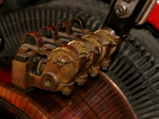
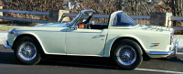
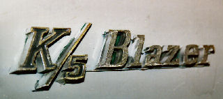 Josh has a new toy. A 1972 Chevy K5 Blazer. This was your basic SUV back before the word (acronym) was even coined. The K5 Blazer, not to be confused with the later Blazers (glorified station wagon), was a rugged, 4-wheel drive, off-road vehicle based on the venerable full-size Chevy pickup truck. Shorten up the bed a little, chop the top off and you’ve got the basics of the K5 Blazer. Sort of like a convertible pickup truck.
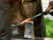
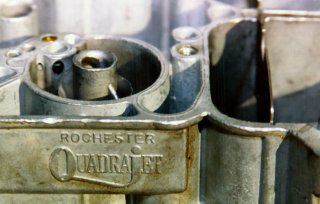 The motor needed some help to get it past the emissions test. What started out as a simple tune-up evolved into a rather protracted event ending with a rebuilt carburetor, electronic distributor, oil pan gasket, and valve adjustment. It reperesented several days/nights labor but the end result was worth it. It runs much better now, doesn’t leak oil, and it passed the emissions test.
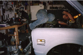

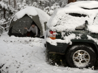
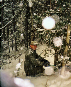 This Christmas we went out into the National Forest to find our Christmas tree. No…. we’re not vandals defacing public property…. this program is sponsored by the Forest Service. For 10 bucks you can get a permit to cut down your own tree. There is a designated area (approx. 8,000 acres) and it is a popular event. There was a steady stream of vehicles going in and out of the area.
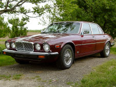
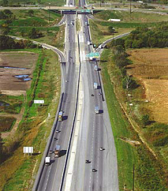 The Thanksgiving weekend ends this evening and we’ve had a full day to recover from the whirlwind trip to Iowa. Ronda, Kristina, and I left early Wednesday morning and made the 11-hour drive back to Des Moines where we stayed with my folks. We enjoyed a nice dinner out that evening and celebrated my birthday.
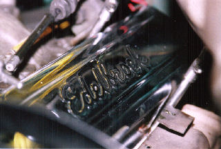
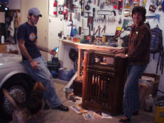 We’ve been working on a few projects with Josh lately. A couple of weekends ago Josh and I decided to tackle a couple of problems with the cooling system on his Lincoln. The heater did not work and the engine would overheat if pushed very hard.