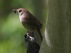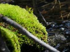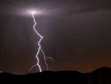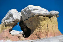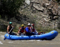
Looking for Moose Biscuits
old news from the Grimes family
Looking for Moose Biscuits
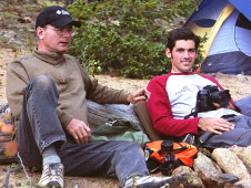
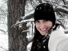
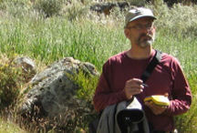
FINALLY! Our first hike in the Tetons started with a drive into Victor, ID and a stop at the Emporium for second breakfast; a Huckleberry Milkshake. This idea of “second breakfast”, which is a Hobbit line from the Lord of the Rings, is starting to have favor with me. 😉 The Emporium is an interesting little tourist shop with a soda fountain and the usual trinkets. They also have a nice hat selection one of which ended up leaving on my head. The huckleberry milkshake is a local specialty and was quite good. Suitably fueled up, we headed towards the Teton Pass on the way to Jackson, WY looking for the trail head. I missed it the first time and we ended up making a trip over the pass to Wilson, WY. I had to ask someone on the other side for directions. Heading back up the pass with its 10% grades and switchbacks, I was grateful I was not one of the drivers I faced coming up the pass with a trailer! At the bottom of the pass, we eventually found the trail head and prepared to head into the Wilderness. We had driven right by thinking it was only a chain up station for semis.
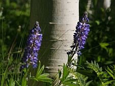
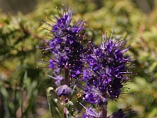
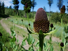
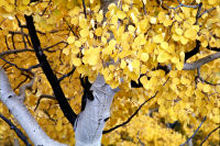
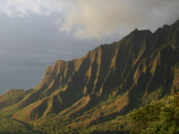
Coal Creek heads up into the Teton range and is classified as moderately difficult. Primarily, I suspect, due to the elevation gain as the trail is quite nice and well maintained. It starts out in a small, forested canyon with a bit of a primeval feel to it but soon breaks out into a more open riparian zone with tons of wildflowers. I have never seen such a display of wildflowers as in this area. The vegetation is quite robust and the flowers have grown from chest to over shoulder high for at least 1.5 miles of the trail. RHonda was euphoric, stopping often to admire them, exclaim about their size and mumbled to herself constantly about them. The trail diverged from the creek bed and ascended up and across the side of the valley through a mixed forest dominated mostly by aspen trees. The amazing display of flowers continued as we climbed steadily towards the saddle from which Coal Creek flows south and Mesquite Creek flows northward. Continue reading
Our boondocking eventually came to an end and we pulled out of the Routt National Forest headed for the Yampa River State Park near Craig, CO. Our first stop was in a little town called Oak Creek where we had seen an old-fashioned drug store with a soda fountain on our way back from Steamboat Springs a few days ago.

A Real Soda Fountain
Bonfiglio Drug was a real flash from the past; what a general store is supposed to be like. Wood floors, a little bit of everything, and most importantly a working soda fountain. I have this thing for vanilla malts and about the only place I will indulge this passion is at a bona fide soda fountain. I think the last one I had was last summer in La Veta, CO at Charlie’s General Store. It was a marvelous treat and we were soon headed west out of Oak Creek on County Road 27 taking the back roads to Craig. This turned out to be a great decision as we soon found ourselves in a wide open range land which couldn’t help but make me think of how the land would have looked to the pioneers as they traversed the territory.
We made an unexpected stop along the way in a valley by the Middle Creek Ranch to have a bit of lunch and let the left-front brake cool off. It seemed to be having a problem overheating.
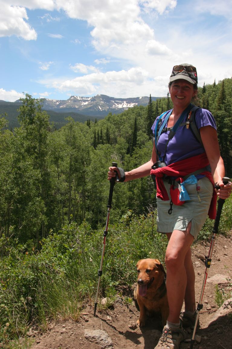
 Just a short little hike. Some rendition of these words might be appropriate to put on my headstone. I’ve uttered them a substantial number of times and for the most part (ok, some might disagree) they have been true. At least I always had good intentions even though there was that scope-creep factor that seemed to sneak in. Anyway, I digress…we set out on a short little hike today. I had talked with one of the Rangers when we first got there and he advised against several routes as they were a bit rigorous for our current “physical condition”. He suggested the hike along Mosquito Lake which initially seemed like an OK idea but after having been plagued by mosquitoes from a nearby bog for several days I thought twice about hiking along “Mosquito Lake”.
I got out the forest map I had purchased and saw that a 4WD road (906) near the dam on the reservoir went up a little ways and dead-ended at a trailhead. The trail continued along East Coal Creek and looked like it would be about our speed with no major changes in elevation. Hiking along a mountain stream is usually enjoyable and so we loaded up our daypacks, hiking poles, the dog, and motored on over.
The 4WD road and the creek started off in the same place but the road immediately diverged from the creek and began a rather steep uphill climb which seemed to go on forever. This impression was reinforced by the very slow pace we were forced to take as the road was really quite rough. We persevered through some tough spots where the trucks high ground clearance was much appreciated and ultimately arrived at the trailhead which did in fact turn out to be reasonably close to the creek again.
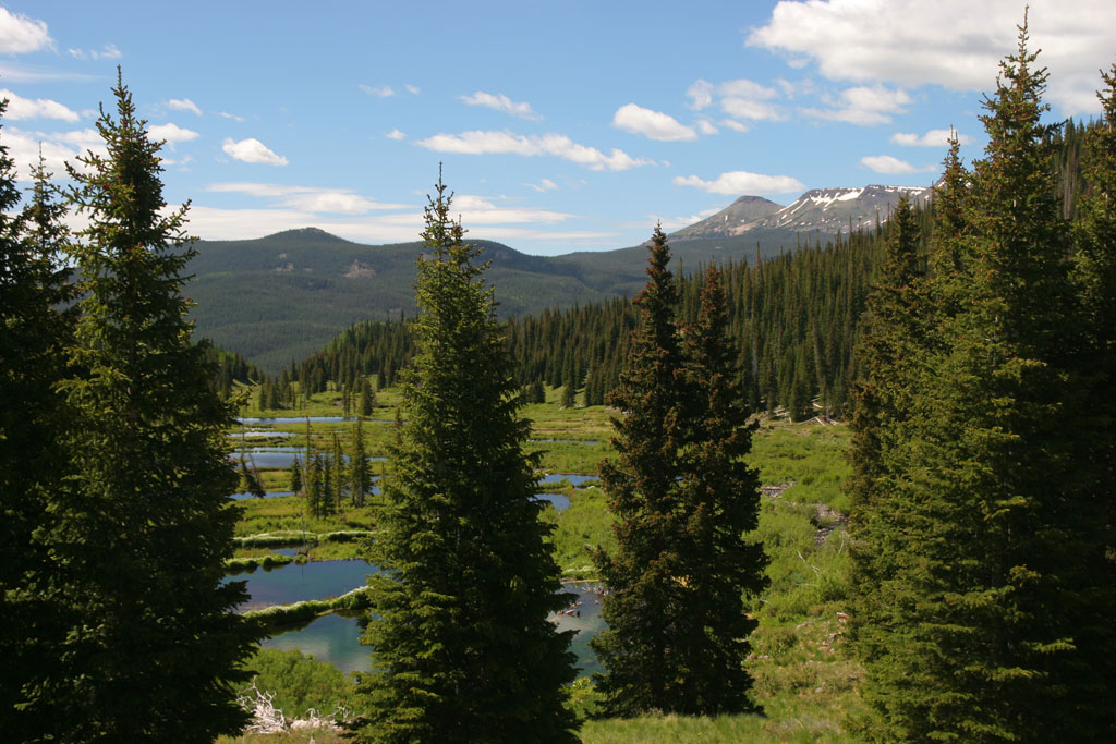
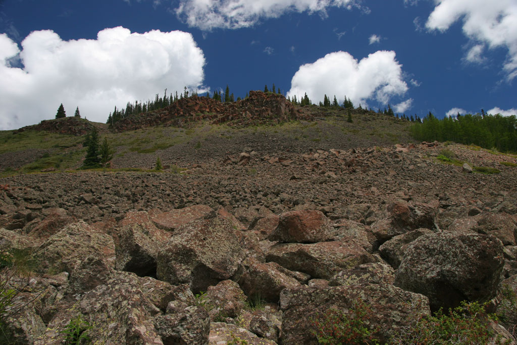
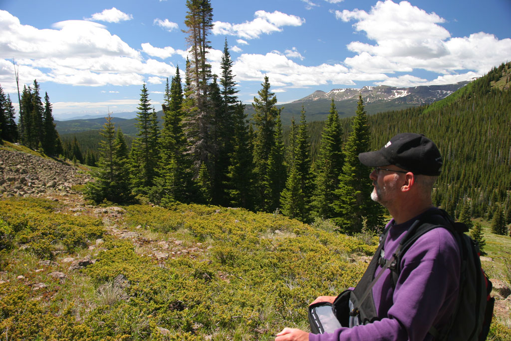
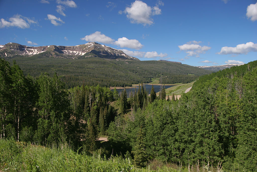
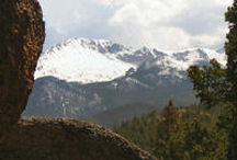
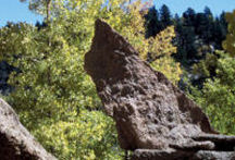
It was an absolutely beautiful day to be hiking up in the alpine meadows. The weather was cool, sunny skies, and nice fluffy clouds. The trailhead is at 10,100 FT elevation and once we got started the trail quickly opened up into a splendid valley replete with many beaver ponds and wildflowers. The trail started off as an old road but soon disappeared underfoot and became somewhat difficult to follow. Eventually, we gave up and simply started following animal trails in the general direction we wanted to go. This took us away from the creek and we began to ascend the hill to the east. After some time it became apparent the trail was going to follow a diagonal up the slope towards a high rock outcropping.
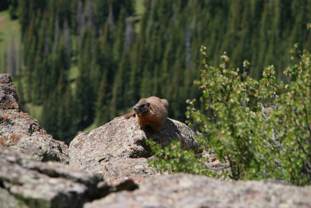
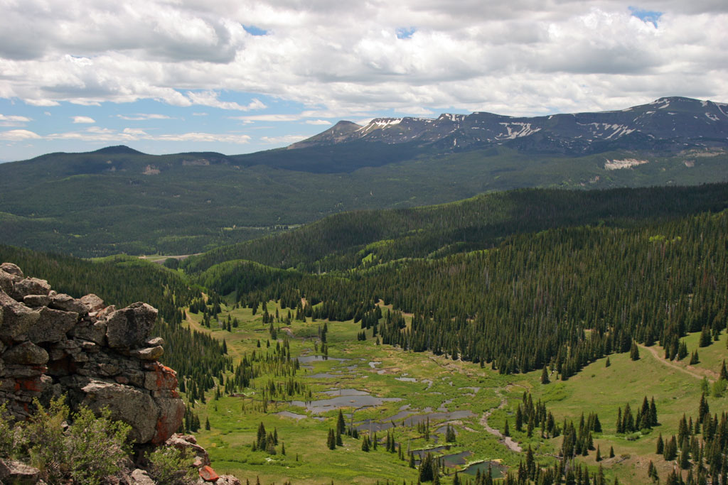
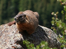
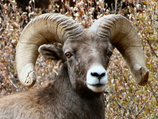
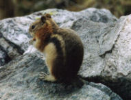
Hmm…decision point. We’ve already gone close to 2 miles and should probably head back. But that outcropping really isn’t that much higher and what a view from up there. Since we had our hiking poles we decided to make the extra effort and make the ascent. We ascended the hillside following the animal track and made it to the top (11,500 FT) where we found a greeting committee (Marmot)! The view was as anticipated…spectacular with the Flat Tops in the foreground and the Continental Divide visible in the background although a bit hazy. We had a spot of lunch while taking in the panorama and then an uneventful return. So, altogether around 4.5 miles…that is still more or less “short” isn’t it?
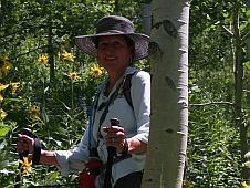
 After a day to get acclimated in our new surroundings, we wanted to get out and “tromp in the woods” as we call hiking. Matt’s back was still hurting but felt better if he moved slowly and cautiously. We are only about an 1/8 of a mile from the road leading to Ute Heart Trail. It didn’t look too strenuous on the map so we headed off to check it out.
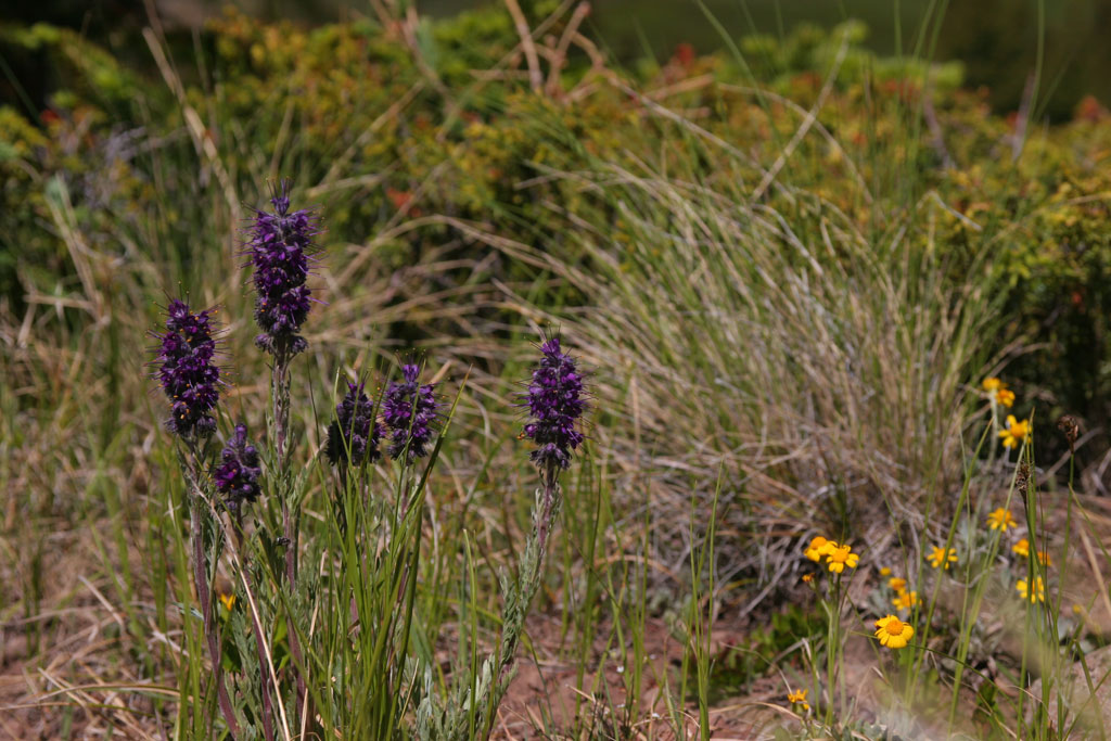
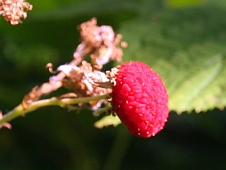
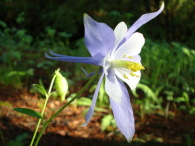
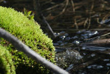
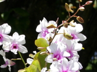
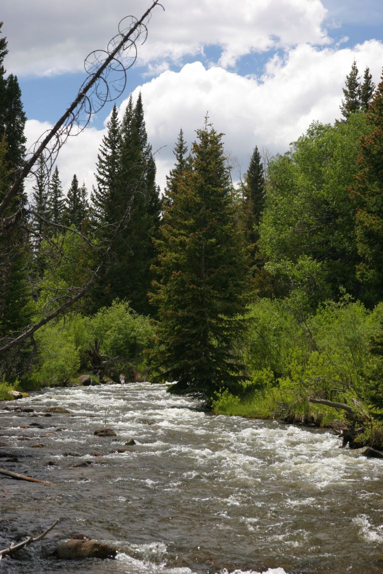
It has been cool overnight here (we’ve learned we don’t want to spend the winter in this trailer in the North country for sure!) and it was a lovely, sunny morning though still a bit brisk. The Colorado sun, especially at this altitude, is quite warm. The somewhat rocky trail dropped us into a short descent approaching the rapids of the Bear River. The River is running COLD, fast and full with all the late snow this year but there was a nice sturdy bridge for us so no forging the stream this time! As we crossed, the trail started up a gradual grade and crossed a creek at the first bend. We continued the uphill grade for most of the hike. There is a beautiful level spot as the trail wanders through a large whispering aspen grove. The whole grove is soothing but about 1/2 mile in the fresh young grasses are interspersed with startling colors of the wild flowers – purple lupines, yellow daisies, white blood root, three variations of wild sweet pea, dandelions, lilac and purple columbines, Queen Anne’s lace (very early!) and a number of others that I was not familiar with. It was such a delight! The Lord has given me such a wide variety of flowers to enjoy with no watering and no weeding.
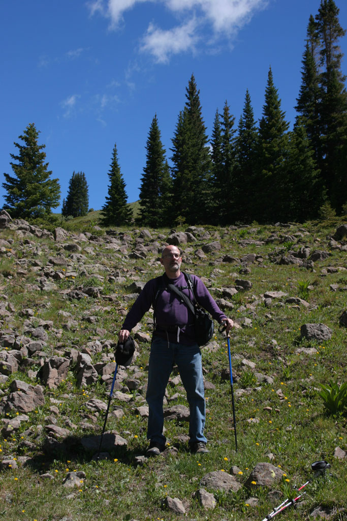
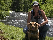
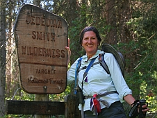
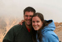
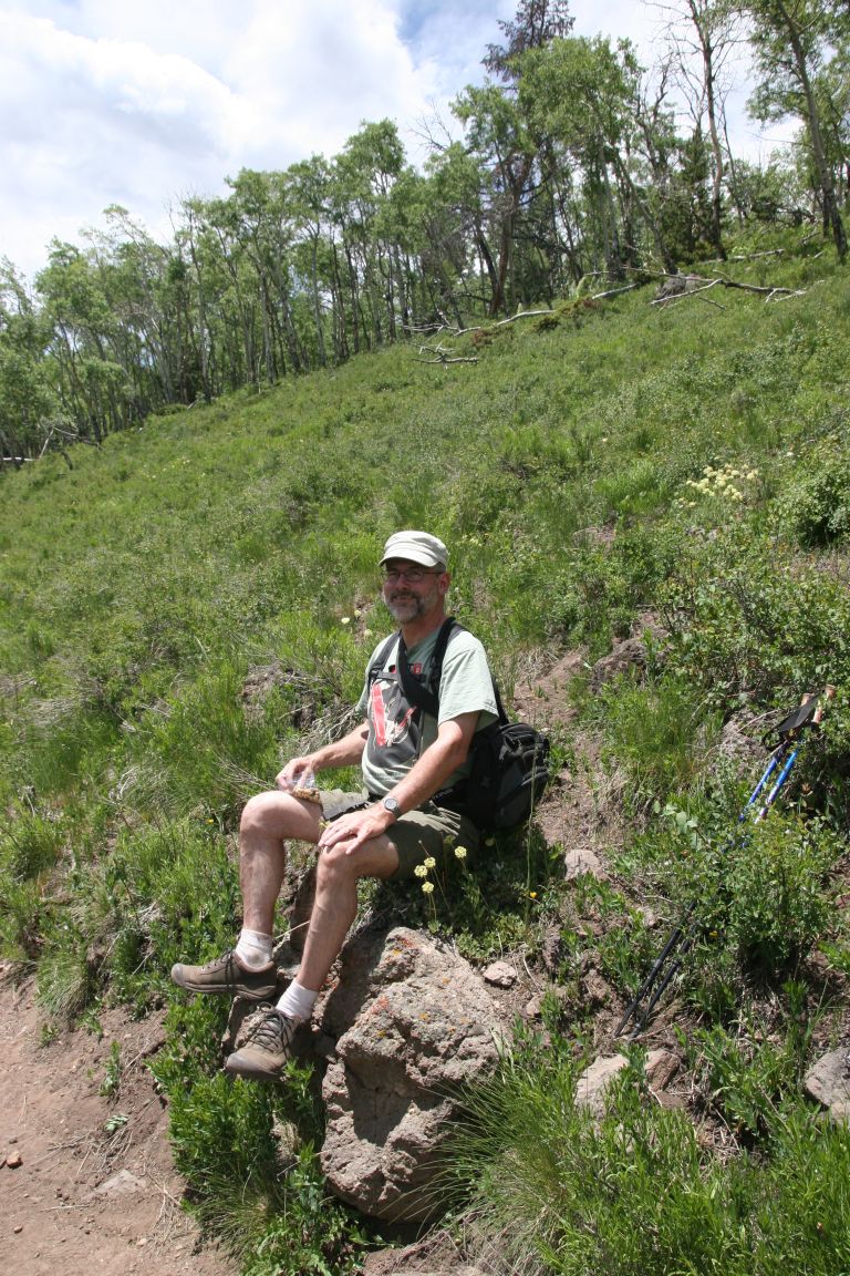
We followed the trail approximately a mile up and stopped for a snack, re-hydration and evaluation. Was it time to turn around? This being the first real hike of the season and Matt not wanting to stress his back we opted for the safe choice – not like the next hike – and started down. The pictures of us are at the turnaround point. It is the first real opening in the grove for those of you (Jamie?) who might want to come and take this hike.
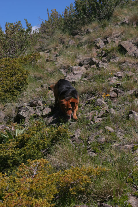
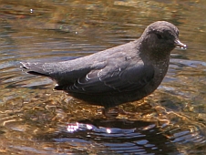
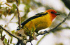
On the way down we stopped for a photo op of some flowers. While I was focusing on a flower Matt said, “There’s a hummer on your right.” Those little buggers move so fast! By the time I would focus, he would move. I may post the one picture I got out of 20 or so, when it is cropped. The hummingbird sighting was “icing on the hike” so to speak. Matt did really well and it was a great primer for our next hike! To be posted soon!!
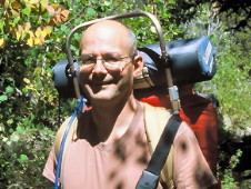
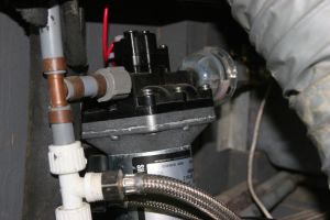
Education comes in many forms. I’ve been through the halls of academia and earned a Masters degree which has served me very little other than looking good on the resume. Most of the really useful stuff I’ve learned has been through the hands-on, just get in there and figure it out approach. This is one of those things that I was fortunate to have been gifted in and have, as a result, accumulated a lot knowledge of how and why things work the way they do. I suppose it was a natural thing that I was drawn to the Engineering field and in particular Systems Engineering which tends to focus on how a multitude of smaller bits are put together to accomplish the successful operation of a complete “system”. All of this is a prelude to discussing a learning situation I encountered the other night.
Problem: If you have a 50 gallon fresh water tank in your rig, and you fill it up before heading out to the forest, how much water will be left after three days of use? Well, obviously that depends on your daily usage which will be determined by how frugal you are with the water. Because we are veteran campers we know how to conserve water and make it last. Therefore, I was quite pleased when I checked the tank indicators several times and was rewarded with a “still full” status. By the third day however, I was beginning to get a little suspicious of this report. While we are frugal, we still have been using enough water that it should be reflected in the tank status. Perhaps, I thought, the float is stuck. Although, I couldn’t think of any reason why it should be as it had been reporting Empty all of the time before (which it was).
Now consider this is our first “dry camping” event, e.g, not hooked up to city water and electricity like we have been previously in public campgrounds. These events are where you get “learning experiences” which must be faced and conquered otherwise you might as well just live in an apartment and call the landlord every time something stops working. So, around 10pm or so, as we were getting ready to retire for the night, I noticed the water pump started running and did not shut off after a few moments per its normal behavior. This is bad because you can burn out the water pump if it runs too long with no water to pump. A quick look outside in the plumbing compartment confirmed that there was insufficient water in the line for it to operate. So, I shut off the pump too prevent damage.
How could this be? The tank indicator still registers as Full. There is simply no way we could have used up 50 gallons of water in a few days and I’ve not seen any sign of leakage. It’s really a very basic “system”; it has a fill spout with a stopper to prevent water from sloshing out when traveling down the road, a 50 gallon holding tank, a monitoring gauge, a water pump, and water lines to the faucet.


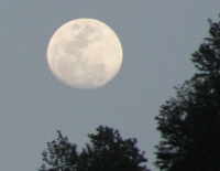
Friday, June 21 (Summer Solstice and Full Moon)
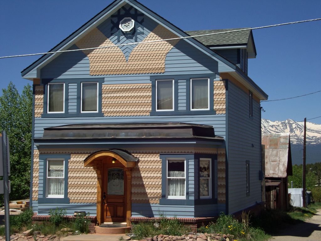
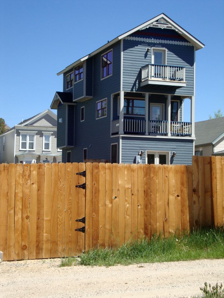
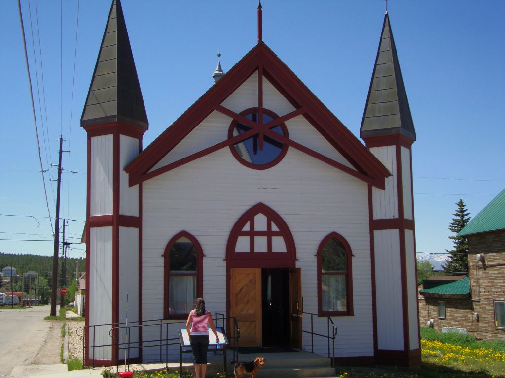
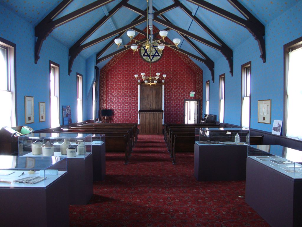
We left Buena Vista around 10am and drove up Hwy 24 to Leadville where we took a break and walked around town a bit. Leadville is the highest incorporated town in the US at roughly 10,000 ft and has a rich mining history. We saw some interesting old houses that have been restored as well as a Jewish temple.
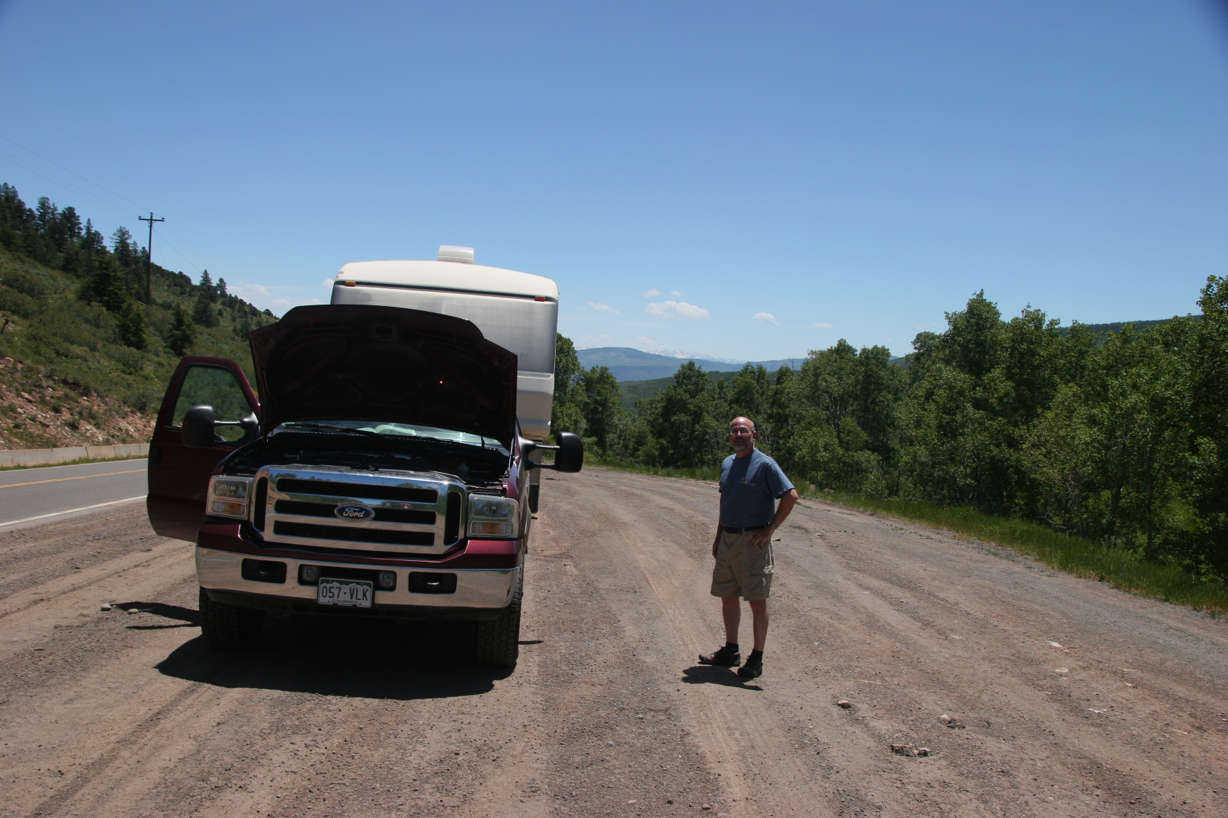
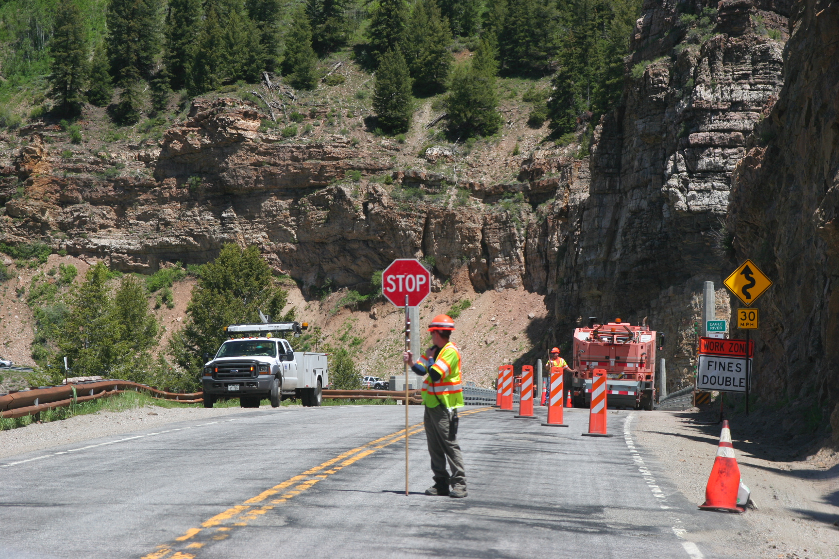
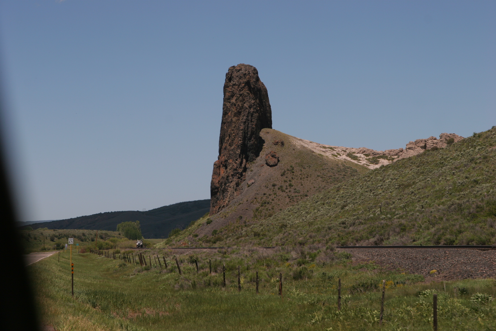
We then followed Hwy 24 on north and picked up I-70 which took us west a bit to Hwy 131 where we headed north again. We drove through some interesting country and even found a bit of road construction here and there. There was one very long ascent that caused the truck to start overheating as we were getting close to the top so we pulled over and let it cool down a bit just to be safe.
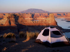
Arrived in Yampa and found the Ranger Station. Visited with Amy for a bit about possible campsites that would be suitable for a 31ft trailer and then proceeded on County 7 which turned into Forest Road 900 (a gravel washboard hell) and into the Routt National Forest a little SE of Yampa vicinity of Bear Lake. We drove out as far as Amy recommended scouting out a few spots but ended up turning around and got a nice secluded spot a little below the dam. 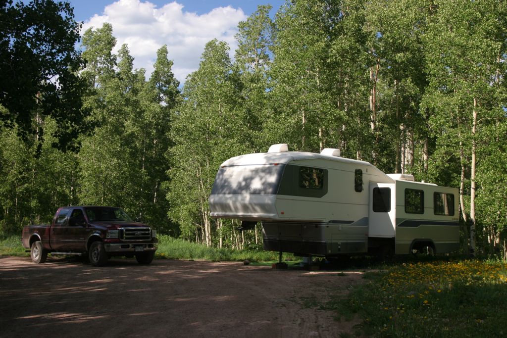 It is a nice site and although it took a little maneuvering to get the rig in here we are nestled in amongst a grove of aspen trees. It has a fire ring and a picnic table but no other facilities so we are making our first dry camp (boondocking).
I dusted off my old hiking GPS device which has been sitting in the closet for years , changed the batteries, fired it up and it is reporting our coordinates as: 40 deg 03′ 16″ N, 107 deg 02′ 01″ W and elevation: 9457ft
Gets a little cool at night but the days are fabulous and the forecast is for sunny skies and no rain. We figure we will stay here for a week on ‘vacation’ before we get serious about figuring our direction for the next chapter of life.
© 2026 MistyCastle
Theme by Anders Noren — Up ↑