old news from the Grimes family

Category: Trail Journals (Page 5 of 5)

Jones Park – Cap’n Jack Trail

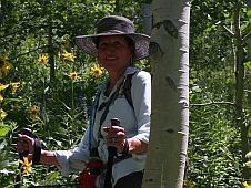
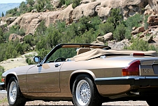
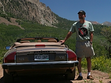
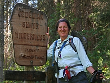
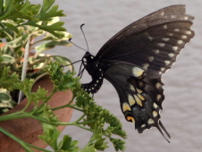
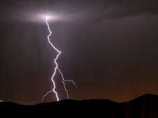
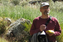
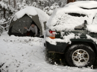
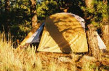
We have made several trips down to the Cheyenne Mountain area to go hiking. There are quite a few trails in the area including the Gold Camp Road hike detailed earlier. One of my favorite journeys is a combination trail that starts at the top of High Drive.

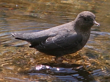
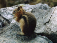
Cap’n Jacks is a multi-use trail that climbs rapidly up the east side of Mt. Buckhorn. It is a single track that is heavily used by mountain bikes and dirt bikes. You have to be a little careful going up since it is difficult to get “off-trail” should you meet up with a bike coming down (ask me how I know). The trail provides some nice views of the city off to the east until the trail goes around the south side of the mountain. Thereafter the views are dominated by the smaller mountains surrounding Pikes Peak.

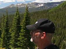
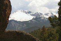
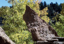
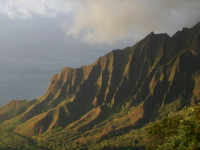
It becomes Jones Park Trail as you leave Mt. Buckhorn and begin heading south along the side of an un-named ridge. After a while you reach a saddle where you can see down into Bear Creek Canyon and also see Josephine Falls. If you backtrack up along the top of the ridge you come to some very nice observation points. From here you can see the Tenny Crags and a gorgeous view off to the north of the Garden of the Gods, and all of northern Colorado Springs. The day we were there the visibility was quite good and we could see way out onto the eastern plains and all the way north up to Monument.

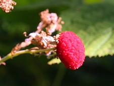
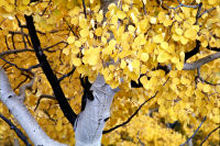
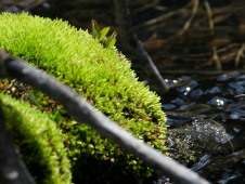
The aspen trees were begining to turn in the higher elevations and there was a little snow on some of the mountain tops. We have travelled a little further up the trail during an earlier hike but I have yet to see if there actually is a Jones Park or not. This trail was one of the early “tourist” hikes to Pikes Peak before the completion of Barrs Trail.

Queens Canyon – Updated w/photos

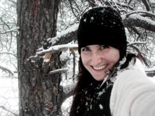
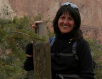
[Update – I made another trip to Queens Canyon with Ronda and Abby and got some decent pictures]

Queens Canyon is located just behind the Glen Eyrie Castle on the Navigators site here in Colorado Springs. I have yet to visit the Castle but would like to do so. The castle was built by General Palmer who was also responsible for the founding of the city of Colorado Springs and many other notable achievments in the local area. The Glen Eyrie site is at the northern end of the Garden of the Gods and Queens Canyon extends up into the foothills of Rampart Range.

I got an early start on this solo hike with the intent of using the early morning light for some photography. I headed up the trail at 6:30 am thinking the canyon would be illuminated by the forthcoming sunrise. This turned out to be a bad assumption. Because of the twists and turns in the canyon, sunlight does not arrive until much later in the morning even though the canyon is aligned on a mostly east-west line.

The canyon is quite narrow and the sides are very steep and rise several hundred feet or more. Continue reading

Gold Camp Road Trail

Gold Camp Road was built in the 1890’s for a narrow gauge railroad to connect Colorado Springs to the Cripple Creek mining district, about 20 air miles to the west. Eventually, the railroad was scrapped and the road bed was converted to vehicle use.

There are several narrow tunnels along the road, and in 1988 a fortuitous partial collapse of tunnel #3 precluded further vehicle use over a road section about 8 miles long. A new trail goes around and over the collapsed tunnel. This 8 plus mile segment of the road is now used mostly for hiking and biking.

On Wed, July 28th, Ronda and I took Abby and drove down to the Cheyenne Mountain area to pick up the Gold Camp Road Trailhead. The weather was overcast and the temps were in the 60’s but the prospects for the clouds clearing off were good as it looked pretty sunny off to the north. We left the trailhead and proceeded up the gentle switchback that makes a big detour around the canyon. Continue reading

Rampart Range Reservoir

Josh gives his Mountain Bike a workout
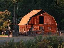
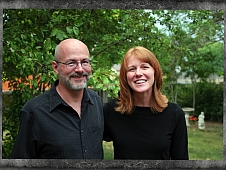
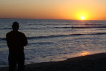
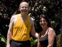
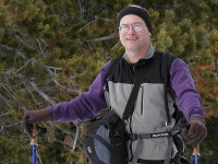
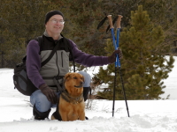
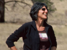
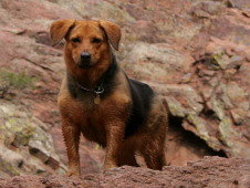
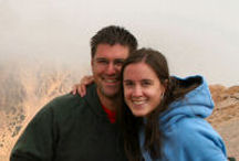
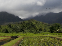
The whole crew made a little excursion up to Rampart Reservoir today. Josh and Kristina took their bikes in the back of the Comanche while Ronda and I took Abby in her Jeep. The reservoir is located in the Rampart Range and is accessible by either driving up Rampart Range Rd which is rather long and twisty, or , by going up to Woodland Park and coming in the back way.

We opted to go via Rampart Range Rd. and return through Woodland Park. Rampart Range Rd. starts in the Garden of the Gods park and immediately begins climbing the foothills. It’s a gravel surface and was quite passable when we went. Many nice views are available along the way. The road eventually reaches the top of the Rampart Range at approx 9,000ft elevation and then begins to follow the ridgeline for the most part.

Upon arriving at the reservoir we started looking for some trails that could be biked. We crossed the dam and stopped at a trailhead that led down to a smaller reservoir (Nichols Reservoir). The sign indicated 1.8 miles as I recall. Kristina decided to hike with us but Josh rode his new Mountain Bike (MB). The trail descended fairly rapidly at first but leveled out and followed a small stream down to the little reservoir. There was no other public access to the reservoir so it is very quiet and peaceful there. We poked around a bit and let Josh ride his MB down some big boulders.

We headed back to grab some lunch and look for the easy trails I had seen on the map but not yet found on the ground. We drove back a little ways and finally found the spot. Both Josh and Kristina took off with their bikes down the trail that circles the reservoir while Ronda and I took Abby and followed. We did not plan on going to far so we found a nice boulder to relax on and enjoyed a beautiful afternoon.

Josh and Kristina ended up having a little more stressful time. The trail turned out to be a somewhat longer than they had anticipated and neither had really left prepared for an extended ride. Three hours later we spotted a fishing boat coming across the lake with a couple of bikes in it. Fortunately for them they found some local fishermen who were willing to give them a ride back else they would have been at least another hour or two.

As we headed towards Woodland Park along Rampart Range Rd. we drove out of the forested area and into some wide open mountain meadowland with spectacular views of Pikes Peak and the surrounding mountain ranges.

Newer posts »

© 2026 MistyCastle

Theme by Anders NorenUp ↑